


Wednesday, May 7 forecast: Periods of rain today and tomorrow


Rain showers held off until late yesterday, and more rain showers are expected at times today and again on Thursday. This rainy weather stretch is thanks to a slow-moving storm system that will swirl through the region over the next few days.


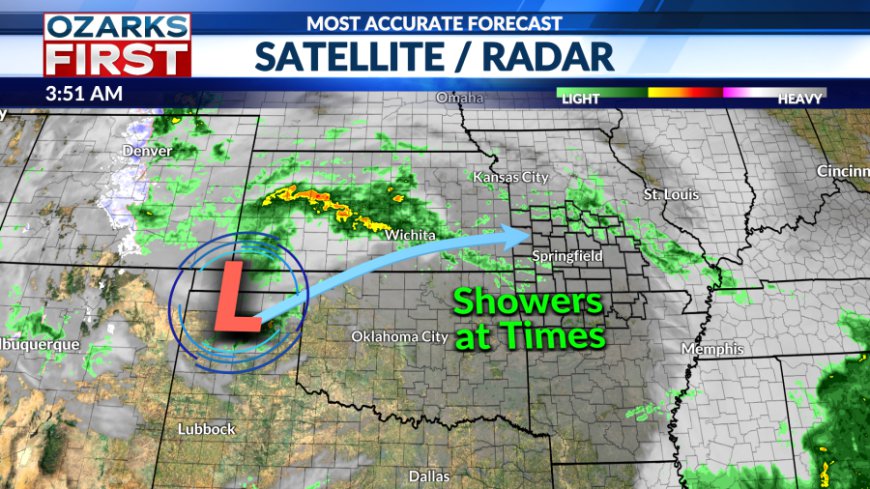
Scattered rain showers and an isolated thunderstorm will continue off and on this morning. The focus for showery activity should shift to Central and Southeast Missouri this afternoon. A few thunderstorms may be able to develop late in the afternoon across Southwest Missouri and Northwest Arkansas. Peaks of sunshine may raise instability enough in these areas to get a storm to produce a little hail and wind.


Scattered showers become isolated tonight and will remain thin in coverage on Thursday. A few heavier, brief downpours are possible on Thursday, and like before, the severe weather risk is very low.


The heaviest rain totals will fall in Southern Missouri and Northern Arkansas through Thursday. Amounts of 1" or more may be common in these areas. Elsewhere, rainfall amounts will be scattered and lower between 0.25" and 0.50".

Drier air will work in by Friday, shutting off rain and clearing out clouds. Rain may be slow to clear out south of Hwy. 60 Thursday night, but should gradually shift out of the area Friday morning. This will pave the way to what should be a nice Mother's Day weekend.
![]()

A reborn form of this week's storm may pay us a visit early next week, slinging clouds and a risk of showers our way Monday. Warm and mostly dry weather will follow for Tuesday through Thursday. Highs will likely be in the 80s, with the overnights also getting warmer. A risk of stronger storms is still on the table for the end of next week.

What's Your Reaction?
 Like
0
Like
0
 Dislike
0
Dislike
0
 Love
0
Love
0
 Funny
0
Funny
0
 Angry
0
Angry
0
 Sad
0
Sad
0
 Wow
0
Wow
0


