How a Great Lakes weather phenomenon might affect St. Louis
Lake effect snow is known for producing some of the most intense snowfall rates, with the potential to dump more than 6 inches of snow per hour.

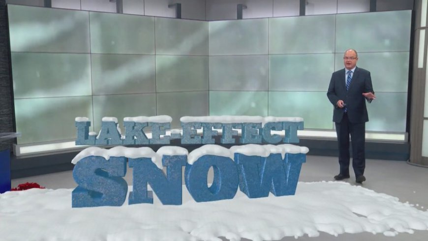
ST. LOUIS – Lake effect snow is known for producing some of the most intense snowfall rates, with the potential to dump more than 6 inches of snow per hour. This is far faster than typical snowstorms, which can take 8 to 12 hours to accumulate that much snow.
The phenomenon is particularly noticeable in cities like Buffalo, where it’s not uncommon for the southern side of the city to receive 3 feet of snow, while conditions are clear just a few miles away. Wind direction and the difference in water and air temperatures influence this variation.
The process begins when cold winds blow across the relatively warmer waters of lakes like Lake Erie. The winds pick up moisture, which then condenses into thick clouds as it mixes with the cold air above. These clouds often form narrow bands of snow that can last for hours, dumping heavy, blinding snow.
Some of the most extreme lake effect snow events in recent years have buried parts of Buffalo in up to 7 feet of snow.
While lake effect snow is a common occurrence in the Great Lakes region, it can happen on a much smaller scale elsewhere. For example, cold air moving down the Mississippi River can occasionally lead to light snow showers and flurries downstream over metro St. Louis. However, these events are much less severe, usually resulting in only a light dusting of snow compared to the intense snowfall seen in places like Buffalo.
What's Your Reaction?


