


Flash flooding risk rises as rain persists in Ozarks
A stationary front over the Ozarks will keep the area cloudy and cool, with scattered showers and a 30-40% chance of rain through the week, but a sunnier and warmer pattern is expected to return by the end of the week.
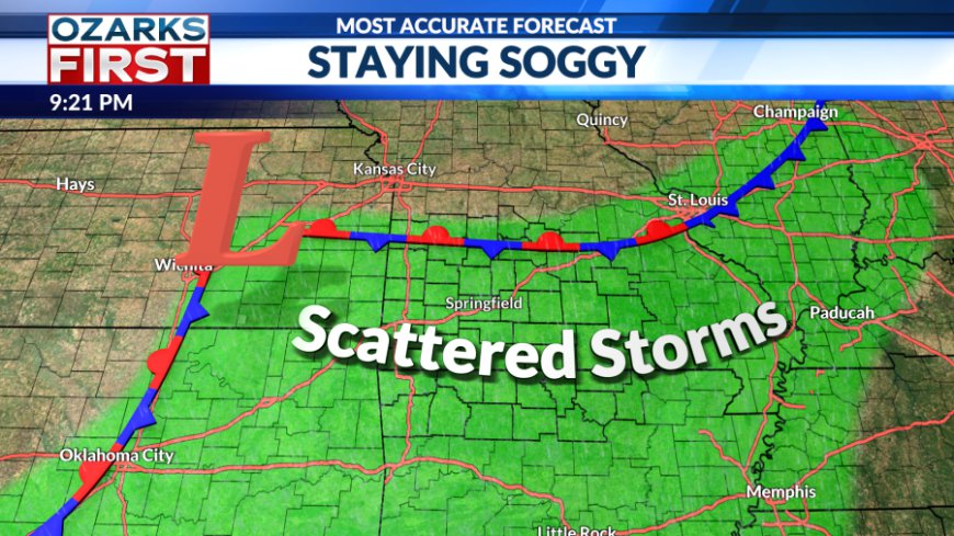
Today brought the soggy feel for Saturday, and sadly, little improvement is expected Sunday. A stationary front remains stalled over the Ozarks, setting the stage for another round of scattered showers.


Fortunately, a steady downpour isn’t expected. However, if you're not seeing rain, expect mostly cloudy skies to block out the usual summertime sunshine.

Rain will be possible both early and late in the day, with most areas picking up between 0.25 and 0.5 inches. That said, localized heavier storms may develop, especially in the afternoon, raising the risk of flash flooding in localized pockets.

The unsettled pattern continues into the work week. Each day holds about a 30–40% chance of rain. While no day looks like a total washout, off-and-on showers will remain a possibility.

Thanks to the clouds and rain, temperatures will stay on the cooler side this week. Highs will run below average, peaking in the mid-to-upper 80s.


If you're growing tired of the rain, hang in there. By the end of the week, a sunnier and warmer pattern is expected to return, just in time for the weekend.
What's Your Reaction?


