


Tuesday, July 15 forecast: Next blast of summer right around the corner
Scattered showers developed once again in Southern Missouri and Northern Arkansas yesterday afternoon. Some heavy downpours quickly left behind 1" to 2" of rainfall over some spots. Additional scattered rain showers can be expected today, but like yesterday, not everyone is going to see rain. The rain showers are thanks to a stationary boundary resting [...]
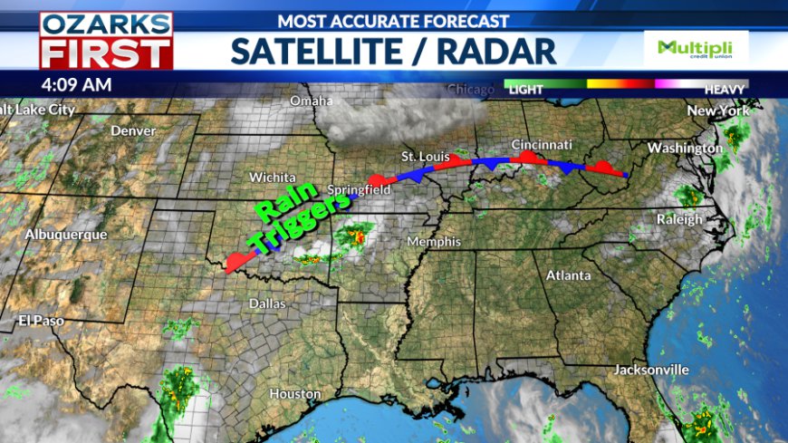
Scattered showers developed once again in Southern Missouri and Northern Arkansas yesterday afternoon. Some heavy downpours quickly left behind 1" to 2" of rainfall over some spots. Additional scattered rain showers can be expected today, but like yesterday, not everyone is going to see rain. The rain showers are thanks to a stationary boundary resting in the Ozarks.


Aside from the scattered showers, today will be near average in the upper 80s. Winds will be light from the south, around 5 to 10 mph under partly cloudy skies. Stray showers will create localized rainfall amounts of 1" to 2" again today, especially after 12 PM. A flood watch has been posted in Northwest Arkansas. We'll do it all over again on Wednesday.


A more significant change to the pattern will occur by the weekend. A summer ridge will expand west across the southern half of the U.S. This will also shut off the rain highway and shift it north. The end result will be a sunnier and hotter pattern.


Rain chances will fall off to near zero by Sunday and Monday, with afternoon highs climbing into the low to mid-90s. This coming weekend into next week is shaping up to be our hottest stretch of weather yet this summer.

Be prepared for intense humidity during this upcoming heatwave as well. Everything is very green for this time of year which will lead to an even muggier feel. Heat index values could be as high as 100° to 105° next week.
What's Your Reaction?


