Summer surges back to life
After a cool start to August, summer heat will return to the area with temperatures in the mid-90s and low humidity, but a cool front late in the weekend could bring much-needed rainfall.
Whew! It's been a great start to August. Temperatures have been running about 10° below normal, or more like mid-September than early August. The pleasantly cool mornings and pleasantly warm afternoons have been a much-needed break from the heatwave that dominated headlines through the second half of July.

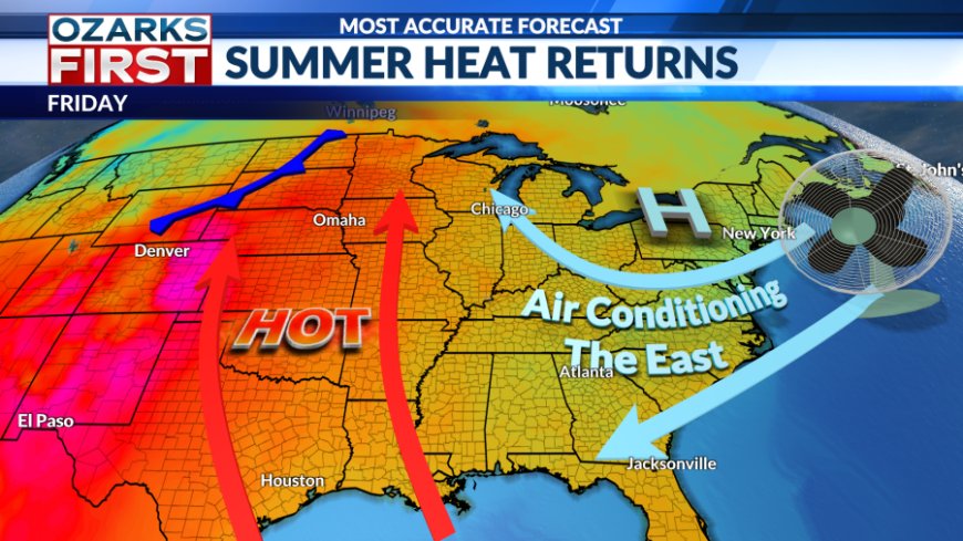
But, it's not to last as we find summer heat surging back into the forecast.
Tuesday will act as our transition day with temperatures starting off pleasant before becoming noticeably warmer during the afternoon. The good news is that humidity levels will remain comfortable as afternoon temperatures climb into the upper 80s.


The rest of the week will feature a summer surge that will end with highs back in the mid-90s. Lows will also be warmer, but the heat won't come with excessive amounts of humidity.


The lack of humidity will also play a role in keeping the area bone dry. Many areas in the Ozarks, including Springfield, haven't seen much, if any, rain since the middle of July. This dry streak will continue into the upcoming weekend.


There will be a bit of a pattern shift late in the weekend that will allow a cool front into the area. This should help focus moisture and rain chances, giving us a better shot at some much-needed rainfall.
What's Your Reaction?