Cooler temperatures won't be lasting for long
After a brief respite from the heat and humidity, a heat dome is expected to bring temperatures into the mid-90s and upper-90s over the next few days, before cooler temperatures return in about a week.
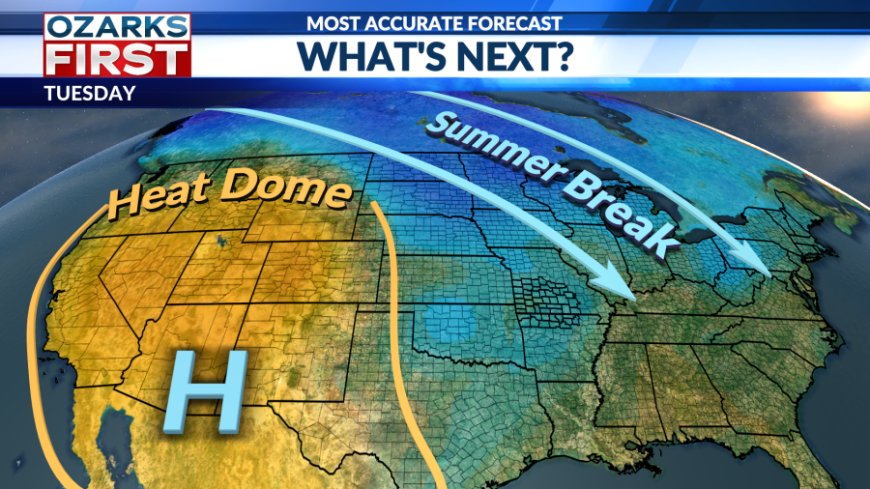
Anytime you can escape the heat and humidity in the middle of August, it’s a welcome relief, which made today certainly feel like a blessing. Unfortunately, the break won't last much longer.

The dreaded heat dome is slowly making its way toward the region. Temperatures will gradually rise over the next few days, while the chance for rain becomes increasingly slim.


Wednesday will serve as a transition day before the dome fully settles in to close out the week. Highs will be slightly warmer than today, with temperatures reaching into the low 90s and heat index values running a few degrees higher.

Expect mostly sunny skies on Wednesday, with a slight chance of isolated afternoon showers—particularly for areas to the south and east.

The heat intensifies to end the week. By Thursday, highs will climb into the mid-90s, and upper-90s are on tap for the weekend.

Relief is in sight, though. Cooler, below-average temperatures are expected to return in about a week, bringing a break from the relentless heat.
What's Your Reaction?