


Pesky precipitation lingering for the start of the week
Well, the rain over the last couple of days has been more annoying than impactful. Light scattered showers for today caused many to shift their outdoor weekend plans around. Unforunetly, we still have additional rain chances to start off the work week. Rainfall will be similar to what we saw today. Generally light, hit-or-miss showers [...]
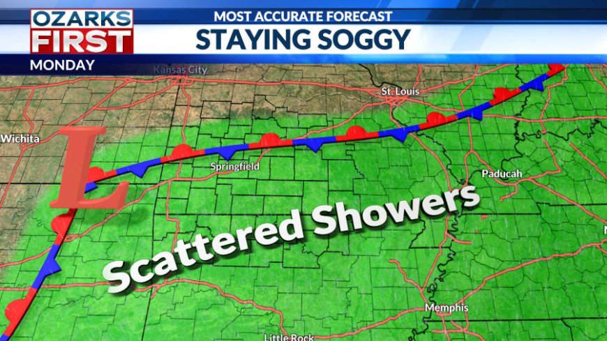
Well, the rain over the last couple of days has been more annoying than impactful. Light scattered showers for today caused many to shift their outdoor weekend plans around. Unforunetly, we still have additional rain chances to start off the work week.

Rainfall will be similar to what we saw today. Generally light, hit-or-miss showers for the daytime hours. A stationary front will be pushing across our region, which will shift the focus for rain mainly to areas south of Hwy 60.

Given the atmospheric setup, I am not expecting thunderstorms or severe weather for the next couple of days. Most of the Ozarks should expect to receive 0.10-0.50" of rain, with the heaviest totals occurring to the south.


Rainfall and cloudy skies will keep temperatures below the seasonal average. For the start of the week, highs will be trapped in the 80s.

A much needed shift in the pattern will arived toward the end of the workweek. Sunshine, warm temperatures, and humidity make a reapperance in time for the weekend as a summer ridge will slow build. This will open the door to warm and toasty conditions to end out the month.
What's Your Reaction?


