Mild August pattern starting to slip away
August is off to a refreshingly mild start. Fortunately, this break from the summer heat is expected to stick around for a couple more days. Sunday will feature mostly sunny skies with temperatures very similar to Saturday’s. It's worth noting that wildfire smoke from Canada and the western United States will continue to drift into [...]
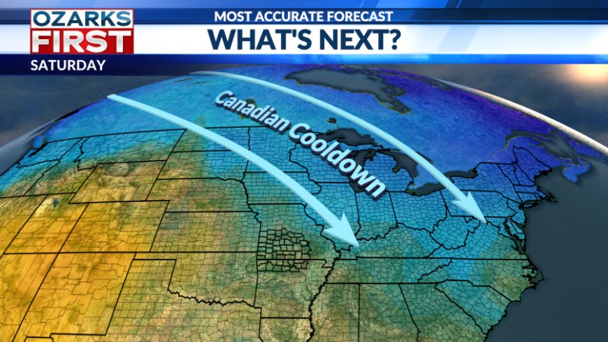
August is off to a refreshingly mild start. Fortunately, this break from the summer heat is expected to stick around for a couple more days.

Sunday will feature mostly sunny skies with temperatures very similar to Saturday’s. It's worth noting that wildfire smoke from Canada and the western United States will continue to drift into the region.

The cooldown holds steady into Monday, with highs remaining in the mid-80s. Clouds will gradually increase throughout the day.

A stray shower is possible in our easternmost counties on Monday afternoon, but most areas should stay dry. Overall, rain chances will be minimal this week, with little to no precipitation expected.

Tuesday marks a transitional day as the warming trend begins. Temperatures will slowly and steadily climb, approaching the 90s.


The summer heat makes its unwelcome return on Wednesday and looks to stay for the rest of the week. Thankfully, humidity levels are expected to remain relatively low, keeping heat index values just below the triple-digit mark.
What's Your Reaction?