Rain chances go up and temperatures come down
Rain chances are up and temperatures are down due to a break in the summer ridge and a dip in the jet, resulting in scattered showers and thunderstorms through Wednesday, before the pattern shifts east and the heat returns.
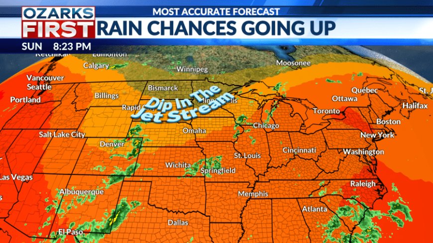
The theme for the next several days: rain chances up and temperatures down. This shift in the pattern is thanks to a break in the summer ridge, compliments of a dip in the jet.

As the dip in the jet shifts east, it will give us daily shots at rain. With the rain will come cloud cover, and it will all add up to an easing of the heat through Wednesday.

For tonight, we've got scattered showers and thunderstorms near and north of the interstate. This activity should fade after midnight.


A big wave of rain and thunder will try to press in from the east Monday morning, but it's expected to fade as it pushes into Missouri. Clouds will thin out some by afternoon with temperatures climbing through the 80s. Additional scattered showers and thunderstorms will likely fire up in the afternoon heat.

Scattered showers and thunderstorms will remain possible through Wednesday. They'll tend to be most likely during the afternoon and evening. For a couple of days, much of the area might be able to keep afternoon highs below 90°.

The wetter pattern will shift east by Thursday. We'll end the week on a hotter and drier note as the summer ridge builds over the area. Be ready for another hot weekend with mostly dry weather on the front end. Shower and thunderstorm chances may head a little higher on Sunday.

The long-range pattern may deliver a cool front, some rain, and milder weather during the following week.
What's Your Reaction?